Mapy Arjitea
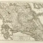 1818|Reichard, Christian Gottlieb
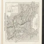
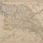 1843
1843
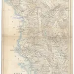
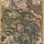 1853|André, Karl
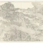 1840|Koeppelin [sic]
 1844|Hellert, J.J.
 18541:1 480 000
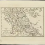 1829|published under the superintendence of the Society for the Diffusion of Useful Knowledge
Stare mapy Arjitea
Odkryj przeszłość Arjitea na mapach historycznych
Stare mapy Arjitea
Odkryj przeszłość Arjitea na mapach historycznych
Szukam Google Maps API Alternative?