Mapy Baigneaux (Loir-et-Cher)
 1869|Migeon, J.1:151 520
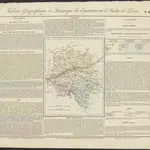 1826|gravé par Le Gagneur [...] Paris1:620 000
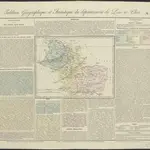 1826|gravé par Le Gagneur1:620 000
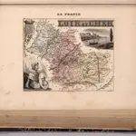
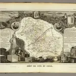 1856|Levasseur, Victor.1:590 000
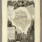 1856|Levasseur, Victor.1:556 000
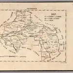 1825|Hermann, O.1:400 000
 1825|Hermann, O.1:400 000
Stare mapy Baigneaux (Loir-et-Cher)
Odkryj przeszłość Baigneaux (Loir-et-Cher) na mapach historycznych
Stare mapy Baigneaux (Loir-et-Cher)
Odkryj przeszłość Baigneaux (Loir-et-Cher) na mapach historycznych
Szukam Google Maps API Alternative?