Mapy Cedar Lake (Indiana)
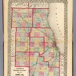 1870|Campbell, R.A.1:350 000
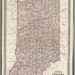 1870|Johnson, A.J.1:862 000
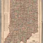 1874|Higgins, Belden & Co.
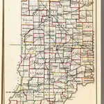 1866|U.S. General Land Office1:1 140 480
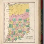 1827|Finley, Anthony1:1 675 000
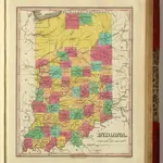 1831|Finley, Anthony1:1 675 000
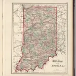 1874|Gray, Ormando Willis1:1 233 000
Stare mapy Cedar Lake (Indiana)
Odkryj przeszłość Cedar Lake (Indiana) na mapach historycznych
Stare mapy Cedar Lake (Indiana)
Odkryj przeszłość Cedar Lake (Indiana) na mapach historycznych
Szukam Google Maps API Alternative?