Mapy London Borough of Barnet
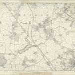
 1863|Ordnance Survey1:10 560
 1864|Ordnance Survey1:10 560
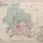 1875|Tvernon
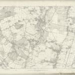 1863|Ordnance Survey1:10 560
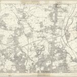 1863|Ordnance Survey1:10 560
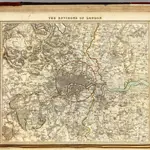 1832|Society for the Diffusion of Useful Knowledge (Great Britain)1:91 500
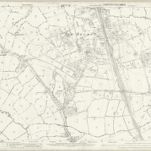 1863|Ordnance Survey1:2 500
Stare mapy London Borough of Barnet
Odkryj przeszłość London Borough of Barnet na mapach historycznych
Stare mapy London Borough of Barnet
Odkryj przeszłość London Borough of Barnet na mapach historycznych
Szukam Google Maps API Alternative?